This project is based on real data of thousand vessels wrecks across the world. The goal was to provide an interactive map where the user can find a vessel based on filters but also on the viewed area.
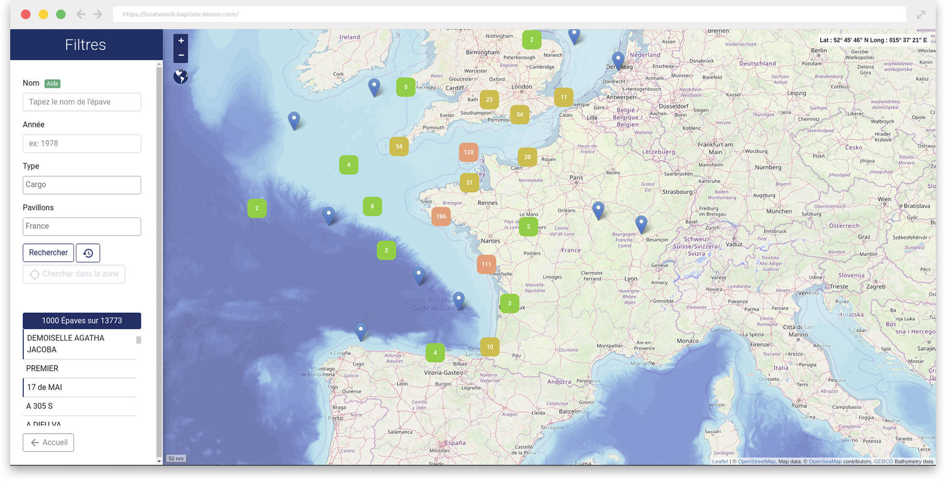
- Search a vessel by name and other filters
- Use a cluster to show a lot of markers with high performance
- Get a list of all vessels on the map with shortcut to get data and position
- Find in bounds
Leaflet boat wreck is currently extended with the following plugins.
| Plugin | Github |
|---|---|
| Bootstrap 4 | https://github.com/twbs/bootstrap |
| Leaflet 1.3.0 | https://github.com/Leaflet/Leaflet |
| Select2 | https://github.com/select2/select2 |
| Notyf | https://github.com/caroso1222/notyf |
| Leaflet Markercluster | https://github.com/Leaflet/Leaflet.markercluster |
- Baptiste Bisson - https://baptiste-bisson.com
Table and column name have been edited. You will mainly need latitude, northOrSouth, longitude, eastOrWest to format position if you don't have decimal coordinate. You need the correct format using by leaflet.